The Snowdon Llanberis Skyline Challenge
An Iconic Mountain Challenge Above the Heart of Eryri.
Duration:
8+ HOURS
Share The Adventure


🏔️ The Snowdon Llanberis Skyline Challenge
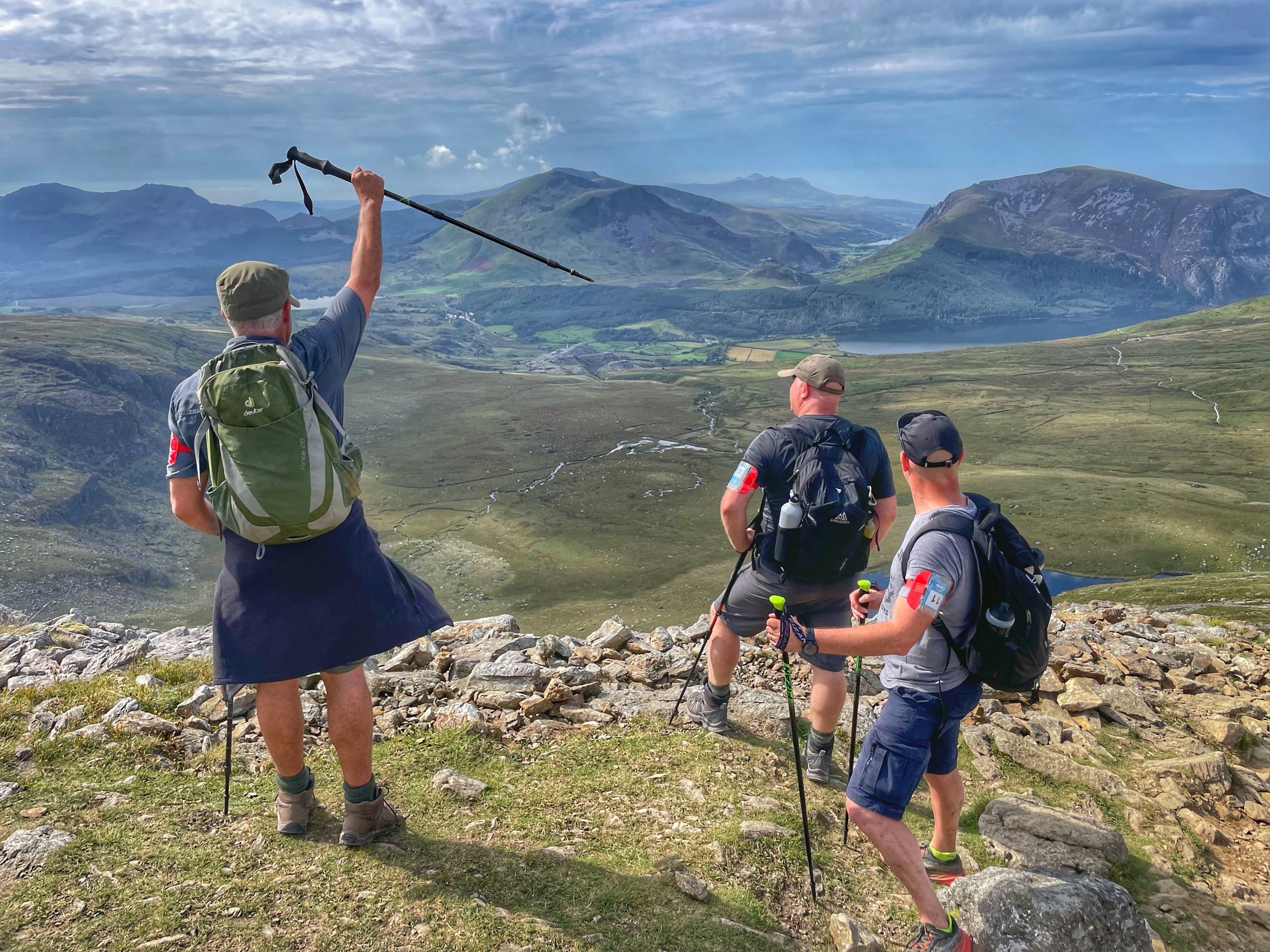
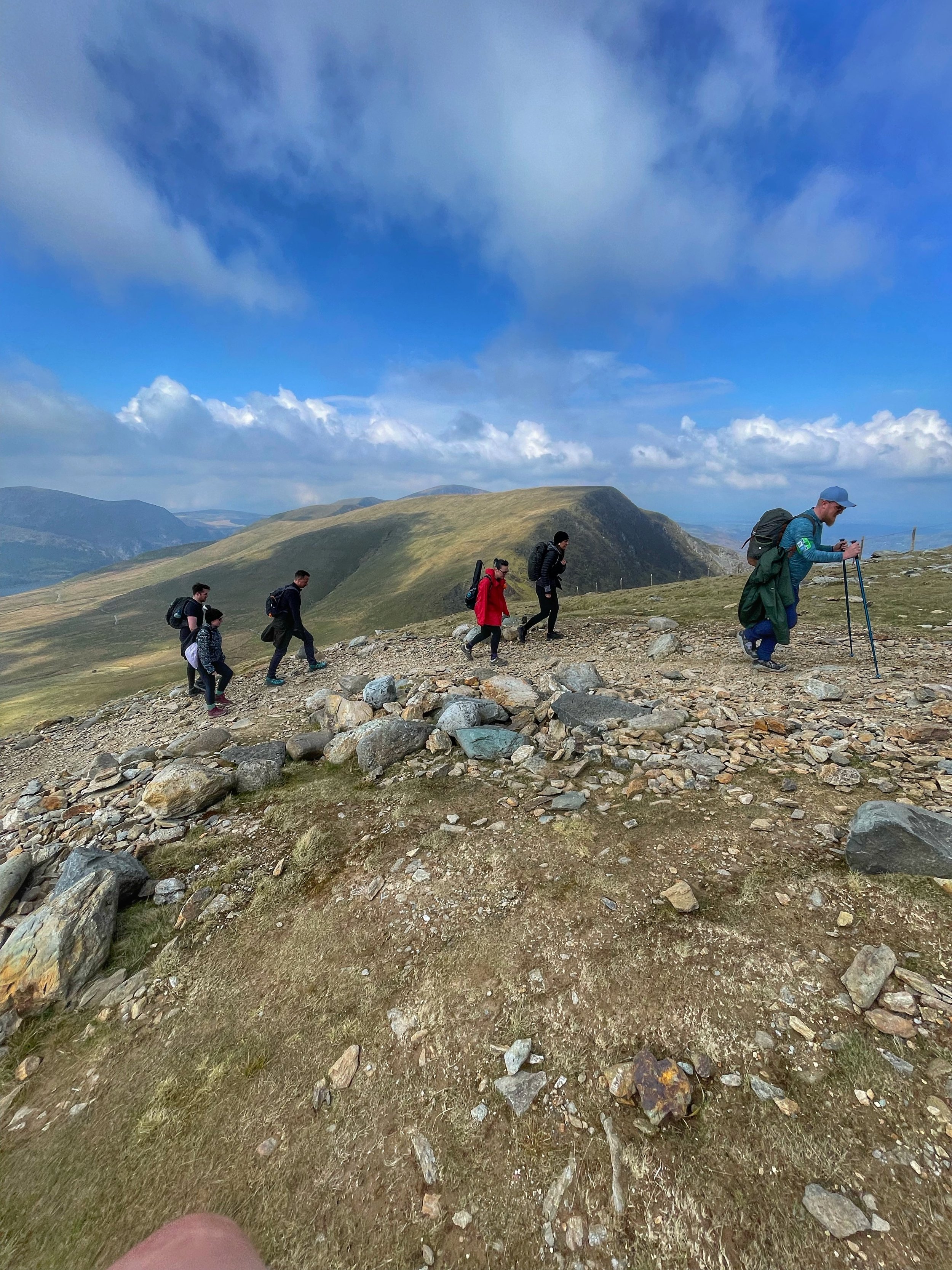
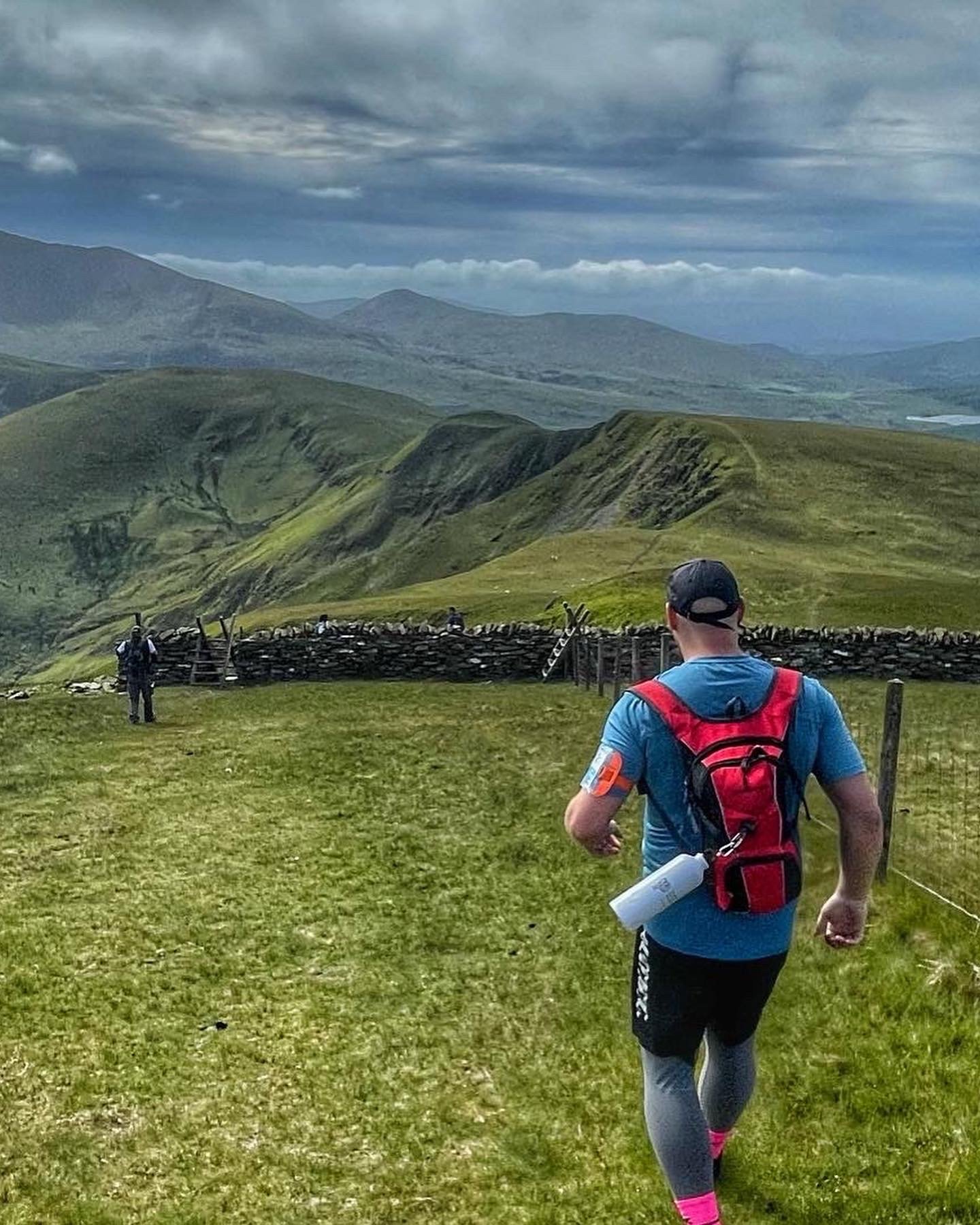
The Llanberis Skyline Challenge is one of Snowdonia’s most spectacular long-distance mountain days — a high and rugged journey across the peaks that encircle Llanberis.
Choose from two routes:
The Skyline Half Route — a stunning, fast, mountain half-marathon distance
The Full Llanberis Skyline Challenge — a huge, multi-summit day taking in two major ranges
Both routes offer incredible views, flowing ridgelines, and a tough but rewarding challenge for committed hikers and runners.
🌄 Two Routes. One Mountain Town. Endless Views.
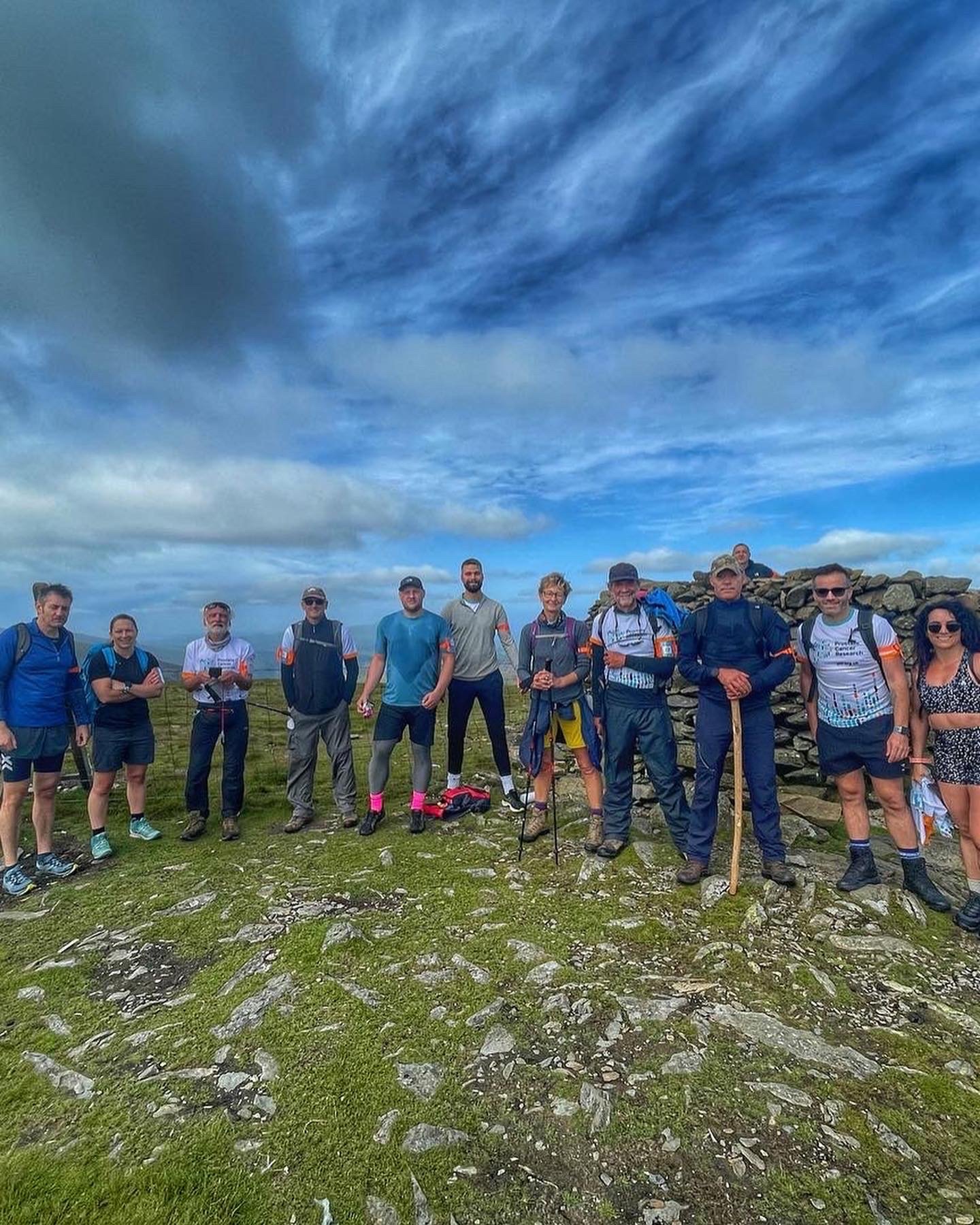
We start and finish in the iconic village of Llanberis, taking on a skyline journey seen from every café, campsite, and lakeside in the valley. This is one of Eryri’s most dramatic long days — a perfect event for teams, charity groups, and experienced hikers looking for a new challenge.
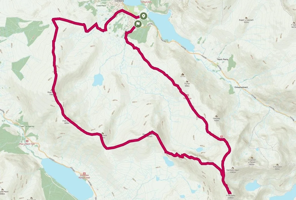
🥾 Option 1: The Llanberis Skyline – Half Route
(Approx. 21 km — Mountain Half Marathon Distance)
A spectacular high-level traverse around the western skyline above Llanberis, finishing with a summit of Snowdon before descending back into the village.
Route Overview
Your journey begins in Llanberis, climbing steadily onto the first high point:
1️⃣ Moel Eilio — 726 m
A beautiful grassy summit with sweeping views across to Snowdon.
2️⃣ Foel Gron — 629 m
A flowing ridge run/walk with the whole skyline stretching ahead.
3️⃣ Foel Goch — 605 m
A quick rise on the ridge with panoramic views over the valleys.
4️⃣ Moel Cynghorion — 674 m
A broad, quiet summit with a fantastic perspective of the Snowdon horseshoe.
From here we join the Snowdon Ranger Path, climbing up onto:
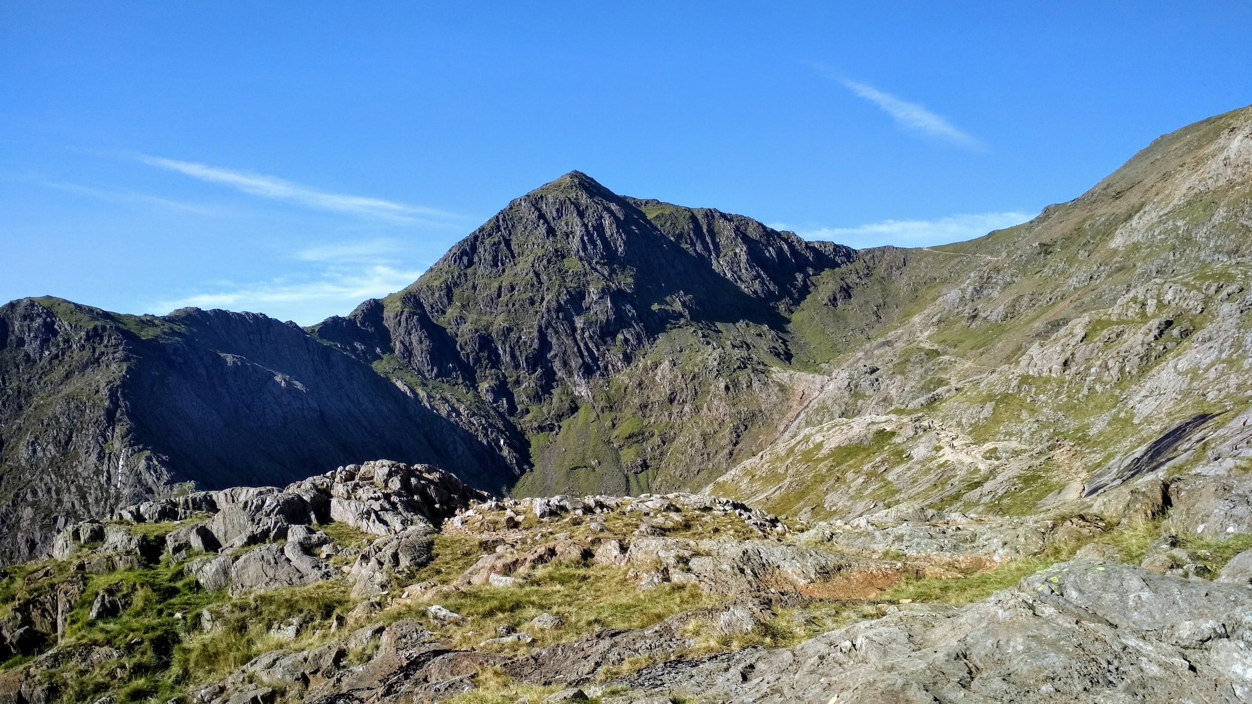
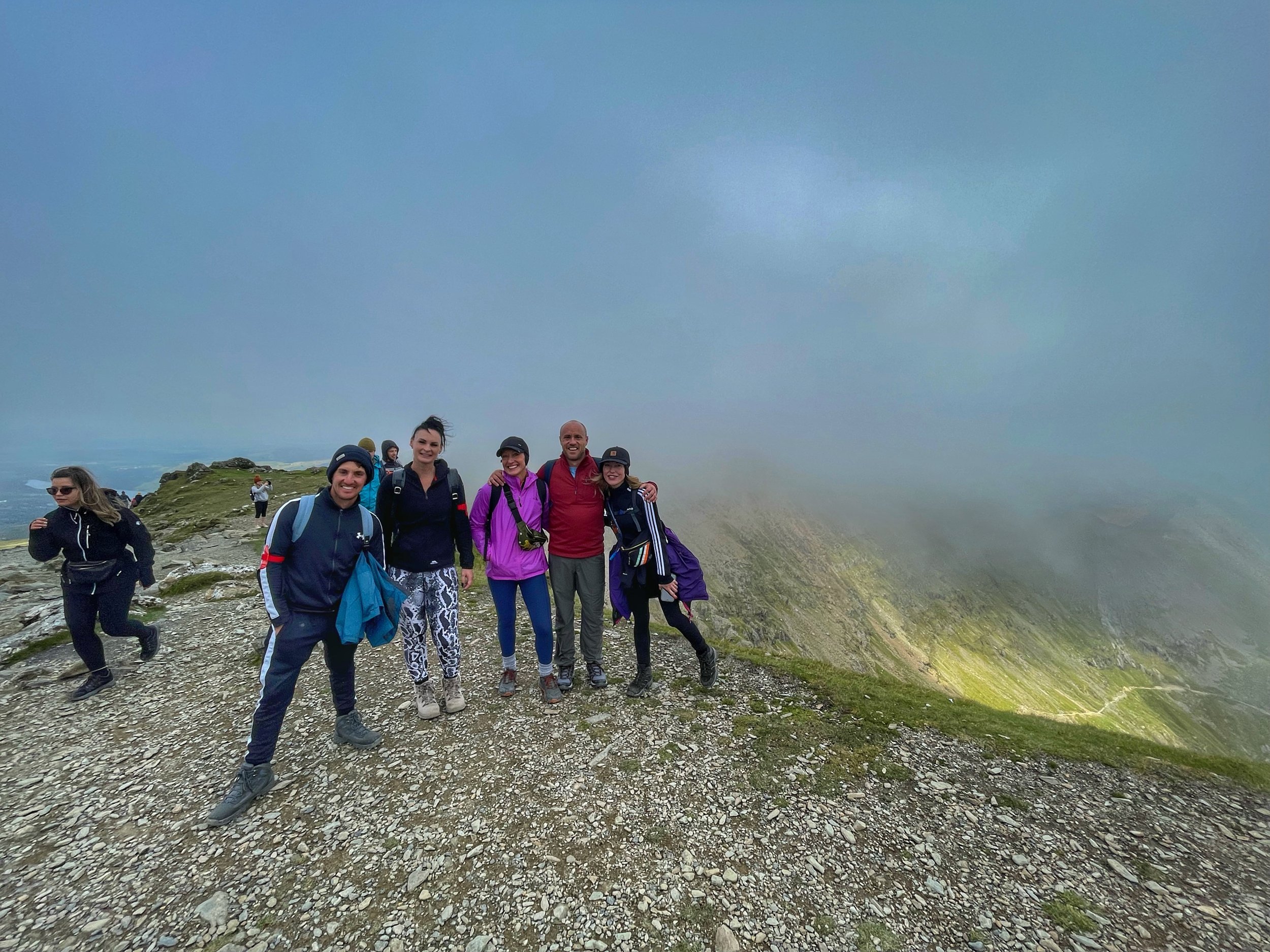
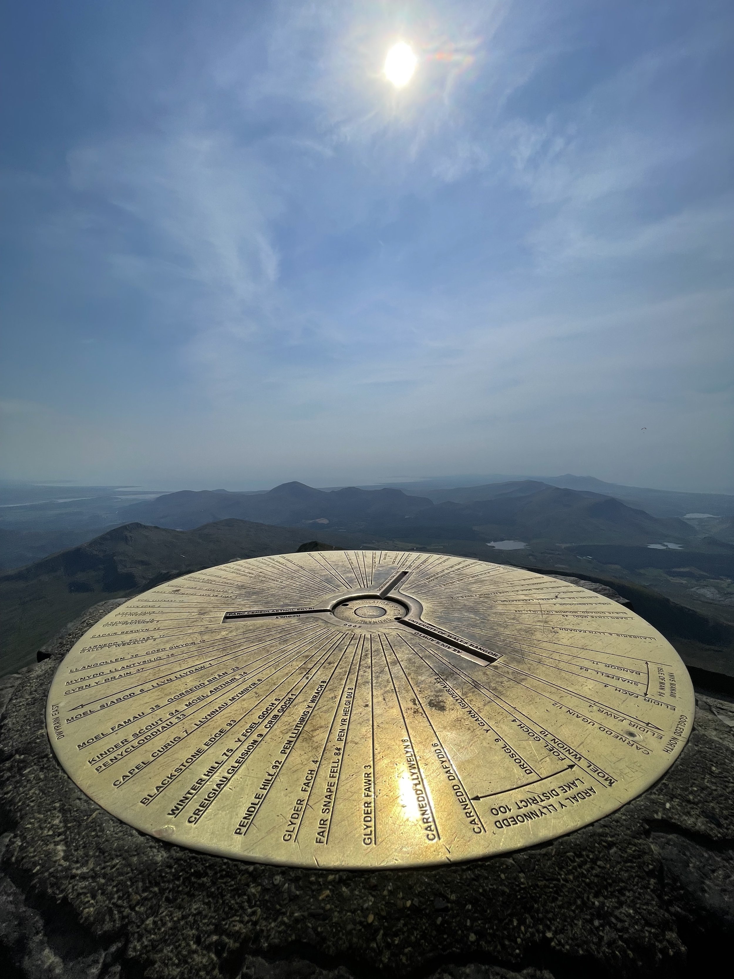
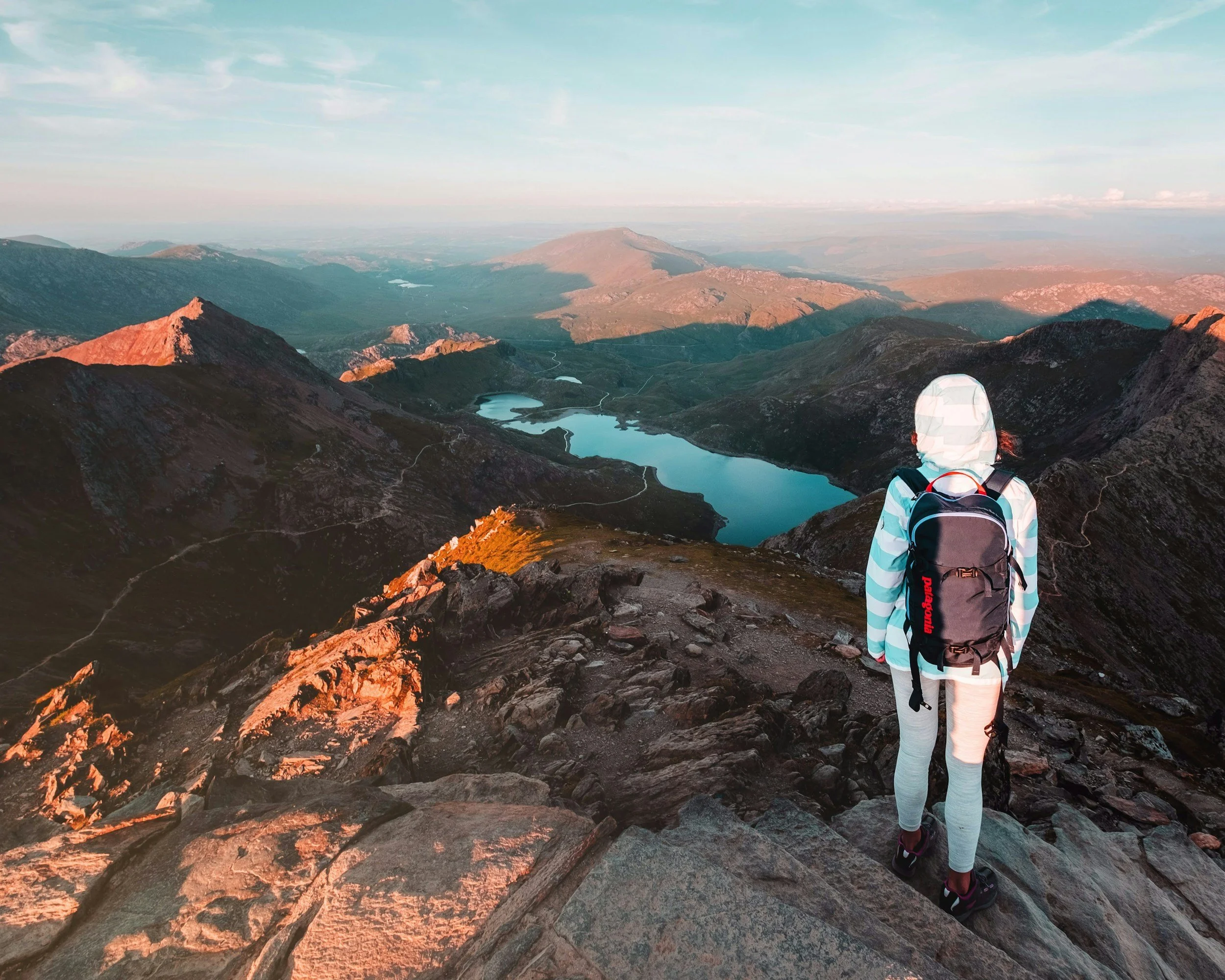
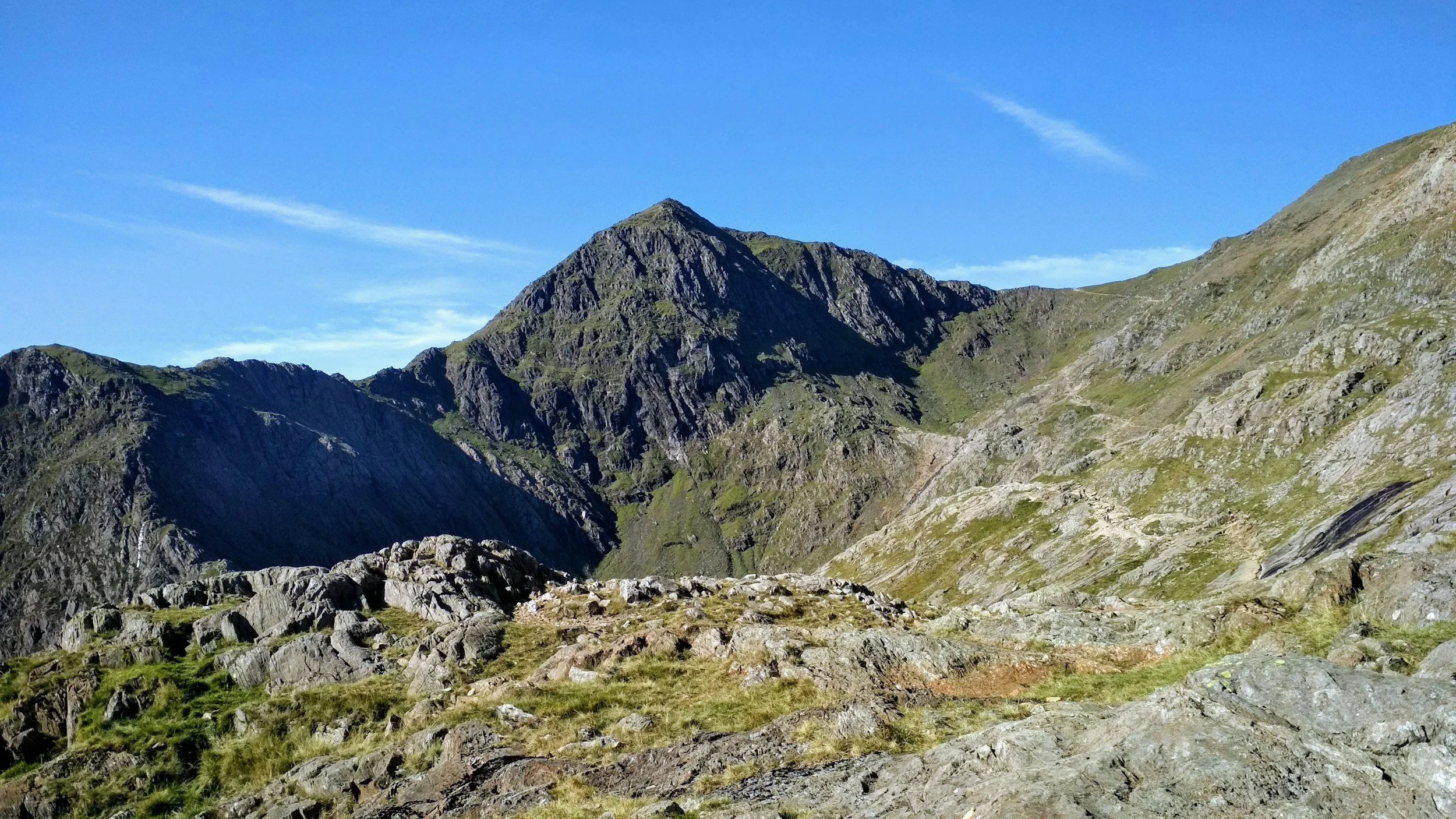
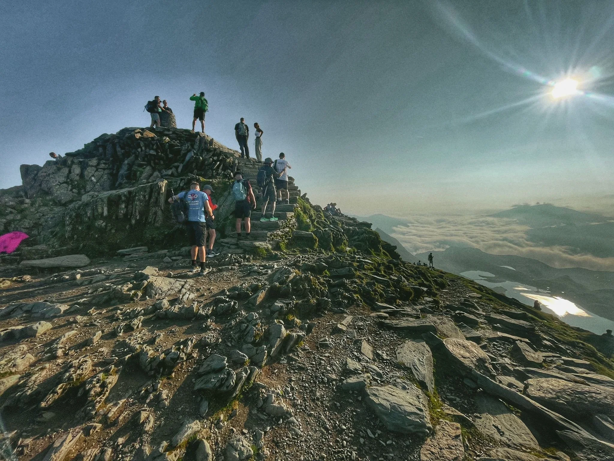
5️⃣ Snowdon / Yr Wyddfa — 1,085 m
The highest point in Wales. A huge moment after the progressing ridgeline of peaks.
Final Descent:
We descend into Llanberis via the Llanberis Path, finishing right where we began — a full skyline loop.

🧭 Who is the Half Route For?
Perfect for:
Strong hikers ready for a bigger day
Trail runners wanting an intro to mountain challenges
Charity challenge groups
Anyone wanting a big mountain half marathon without technical scrambling
This is a tough but achievable journey with one of the best ridge progressions in Snowdonia.
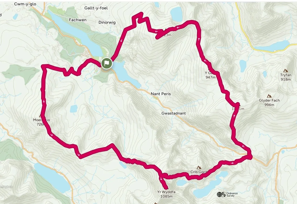
🏔️ Option 2: The Full Llanberis Skyline Challenge
The Monster Route — Two Ranges, Ten Summits, One Huge Day or two
The ultimate version of the skyline: Snowdon plus a full traverse of the Glyderau’s highest peaks — a true epic for experienced mountain adventurers.
Route Overview
The first section is identical to the Half Route:
Moel Eilio – 726 m
Foel Gron – 629 m
Foel Goch – 605 m
Moel Cynghorion – 674 m
Snowdon / Yr Wyddfa – 1,085 m
But instead of descending into Llanberis via the Llanberis Path, we take on a huge second stage.
Descent Route
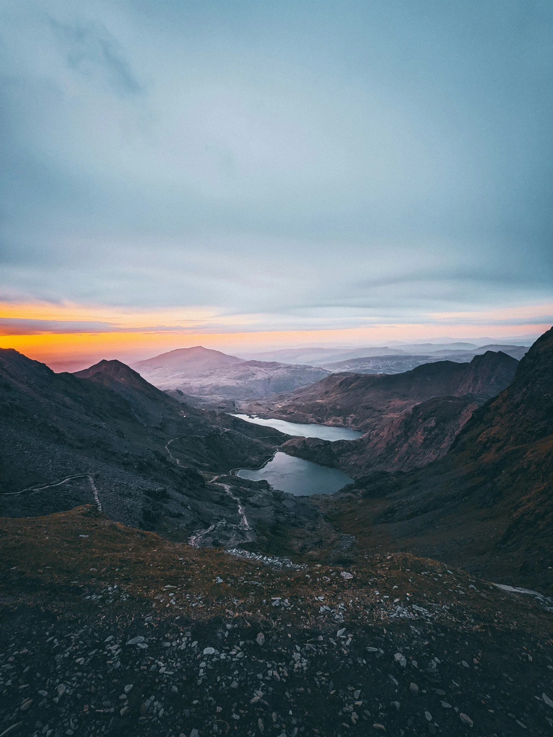
We descend from Snowdon via the Pyg Track into Pen-y-Pass, crossing between the two major ranges. If doing the route over two days, we get the bus back down to Llanberis from here and the bus back up the following morning.
The Glyderau Summits
6️⃣ Glyder Fawr — 1,001 m
A steep, rough ascent to one of Snowdonia’s most iconic summits.
7️⃣ Y Garn — 947 m
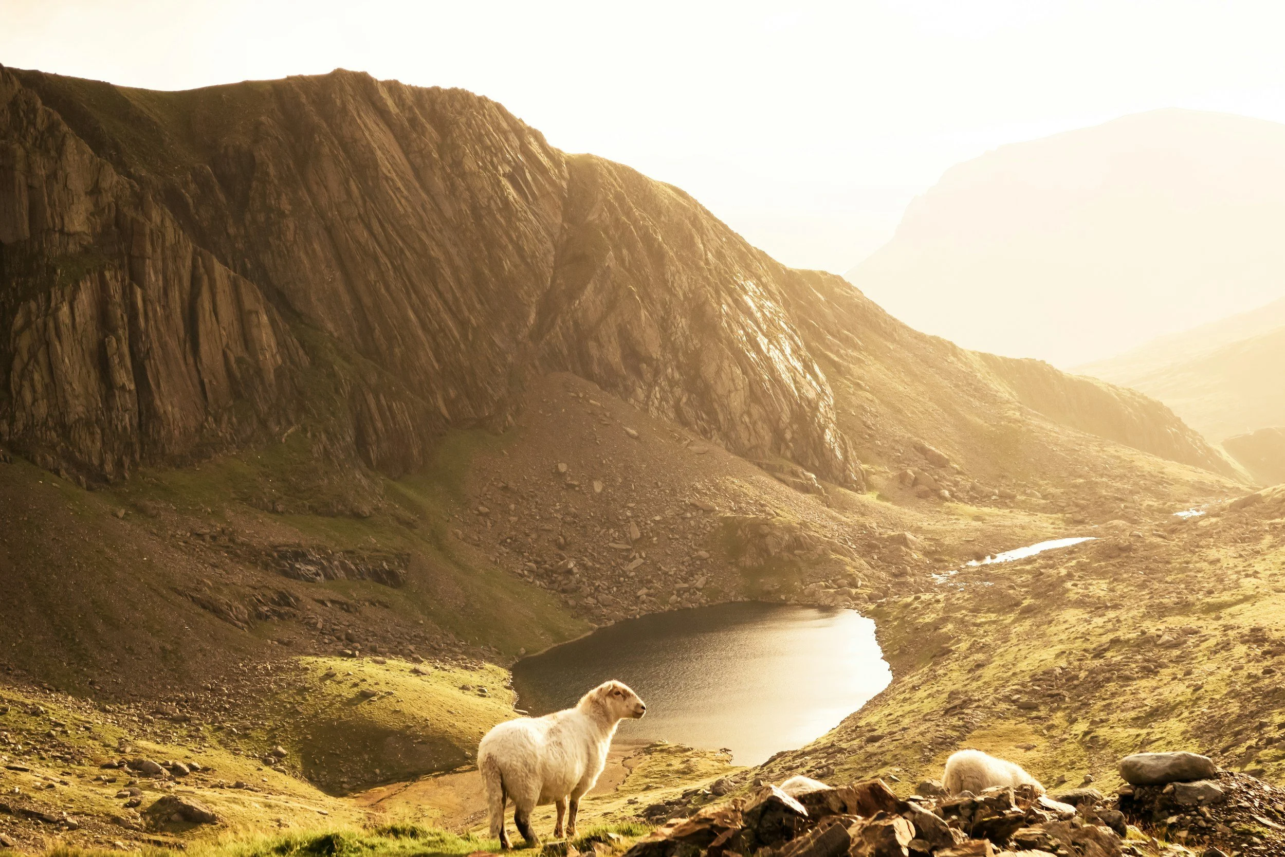
A classic ridge summit with huge views down to Llyn Idwal.
8️⃣ Foel-goch — 831 m
A broad grassy top between major peaks.
9️⃣ Mynydd Perfedd — 812 m
A quieter top with sweeping views towards Bethesda and back to Snowdon.
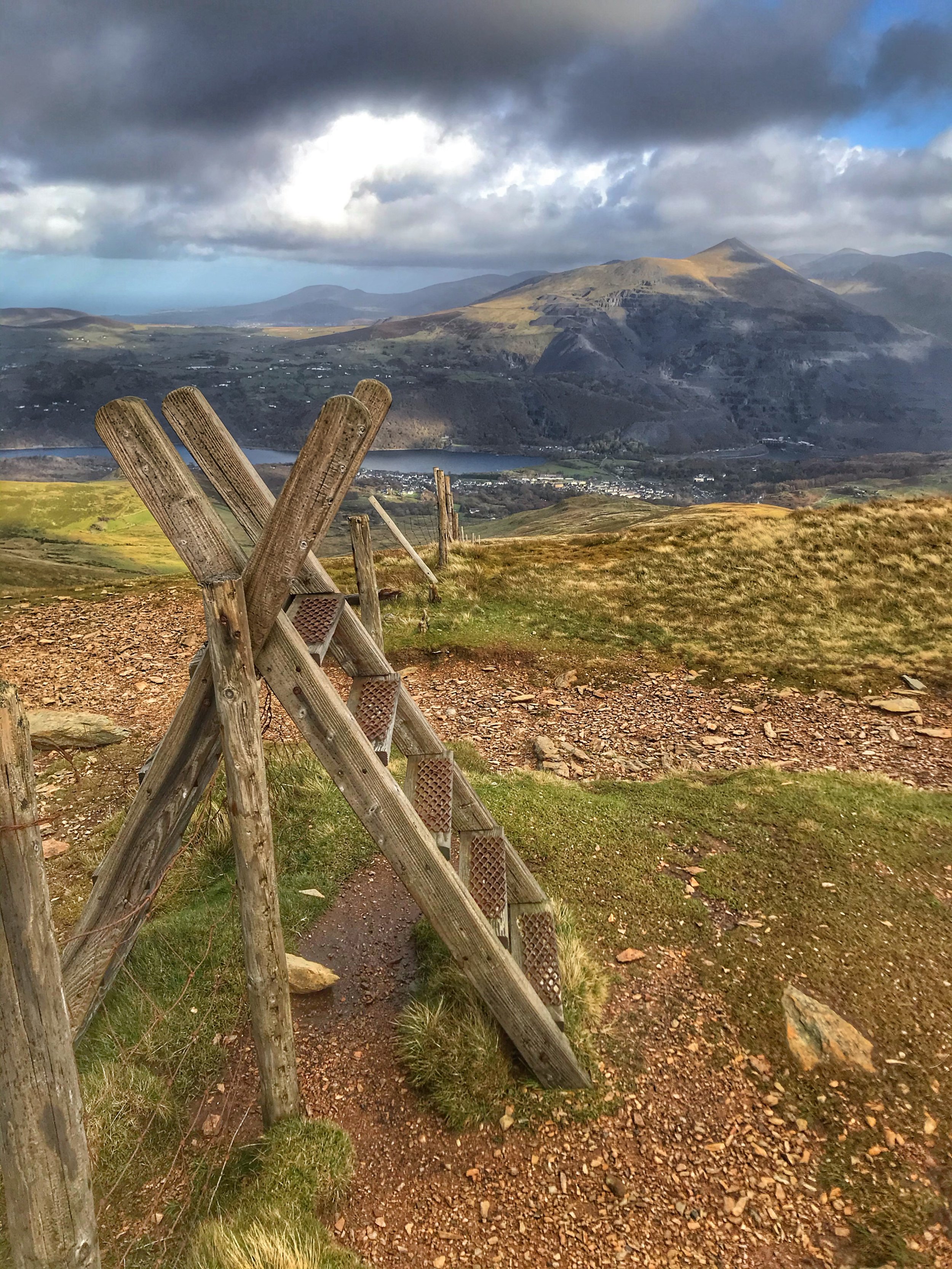
🔟 Elidir Fawr — 923 m
The final major summit — a dramatic finish before descending its long, stony ridge back into Llanberis.
Finishing Descent
Through the parts of the old Dinorwic Quarry, We return directly into Llanberis, completing the full double-range skyline.
💪 Who is the Full Route For?
Ideal for:
Experienced hillwalkers
Trail runners and ultra-distance athletes
Charity challenge teams wanting something iconic
Anyone seeking a massive one-day challenge in Snowdonia
Expect:
Big ascent
Long distances
Mixed terrain
One of the most rewarding mountain days available anywhere in the UK
🧭 What’s Included
Qualified & insured Mountain Leaders
Route planning, safety management & navigation
Group pacing & support
Photos from the day
Emergency equipment
Optional charity challenge support
🎒 What You’ll Need
A full kit list will be provided, but essentials include:
Sturdy walking boots or trail shoes
Waterproof jacket & trousers
Warm layers / spare insulation
Hat & gloves (year-round)
At least 2–3 litres of water
High-energy food & snacks
Headtorch (full route)
Personal medication
(We’ll send you a full kit guide once you book.)
🌦️ Difficulty & Fitness
Both skyline routes involve steep climbs, long distances, and full mountain terrain. You should be comfortable with:
Rough ground
Sustained ascent and descent
Long-duration days
Changeable weather
If you’re unsure which option suits you, we’ll happily help you choose.
🧡 Join Us for the Llanberis Skyline Challenge
Whether you’re taking on the half route or the full epic traverse, this is a day you’ll never forget.
📌 Perfect for individuals, groups, charity teams & company events
📌 Private dates available all year
📌 Open-group dates available in spring, summer & autumn
👉 Book the Llanberis Skyline Challenge

Best Places to Stay for Hikers & Adventurers in Snowdonia, the Lake District, Scotland & Yorkshire Dales
Wherever your challenge takes you — Snowdonia, the Lake District, the Scottish Highlands, or the Yorkshire Dales — your adventure deserves the perfect base. Explore our recommendations, book your stay, and let’s get you ready for the mountains.